
Engineering Lesson 9: Balloon Path Prediction and Tracking
Overview of the content
Learning objectives
- access detailed weather predictions
- use HabHub or equivalent model to predict a balloon flight trajectory
- recognize the importance and value of radio communications
- demonstrate at least one balloon flight path prediction tool.
Background information
Weather and Trajectory Predictions

Weather and Trajectory Predictions - this 10-slide presentation is by Dr. Mary Bowden and Chaitanya Garg
University of Maryland Aerospace Engineering.
It is essential to check the weather forecast and the trajectory predictions while planning a balloon launch
- Launching in high winds can be very difficult and hazardous
- Rain can damage payloads, short out electrical systems, and will add a considerable amount of weight to balloon
- Fog and low overcast will obstruct visibility
Reviewing trajectory predictions will provide the information needed to
- Pick a good launch site
- Avoid restricted airspace
- Predict an approximate landing zone
This presentation will give you the tools to do both.
> Download this slide deck from our NEBP Google drive as a PDF orPowerpoint
Tracking High Altitude Weather Balloons
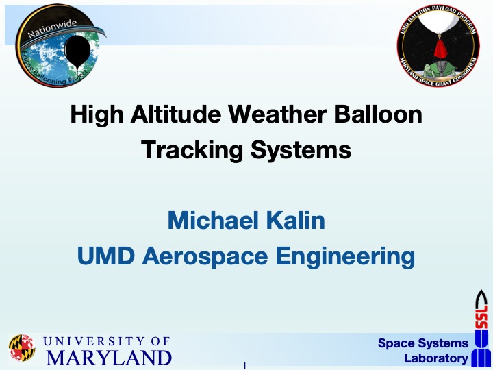
Tracking High-Altitude Weather Balloons -- a presentation of 26 slides by Michael Kalin, University of Maryland Aerospace Engineering
This presentation explores two important types of balloon tracking information:
- Real time telemetry
- Tells you information (position, altitude, temperature, battery voltage, etc.) about the balloon/payloads while they are in the air
- Landing site location
- Tells you where the payloads have landed
Some types of tracking systems can give you both, some can only give one or the other
If real time telemetry is lost, it can be backed up with on board data logging
Landing site location, on the other hand, is essential for recovering payloads
> Download this slide deck from our NEBP Google drive as a PDF or Powerpoint deck
Prediction software
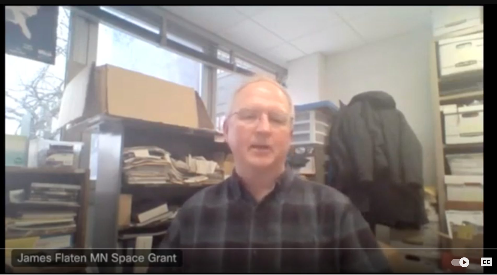
In this short video, James Flaten (University of Minnesota) and Mike Walach (Montana State University) describe the software packages that can be used to predict the path of balloon flights. [5:05, YouTube, closed captioned]
The Choosing a Launch Site video from a prior lesson also includes information about using prediction software.
Discussion questions for class
- What forms of radio communications do you use in your everyday life?
Class activity
Pull up various weather models on the computer and walk through the data available (winds at different altitudes, precipitation, cloud cover, near-term and extended forecasts, etc.)
Homework / Extended Learning
Pull up a weather model every day for the next week and track how well predictions match reality. Be prepared to share your findings with your class or team.
![]() Don't forget to track today's progress in your portfolio
Don't forget to track today's progress in your portfolio
Will you take a few minutes to give us some feedback on this lesson? Thank you!
Course home page // Next lesson >>